


-
-
-
-
About Union
Geographical & Economic
Miscellaneous
-
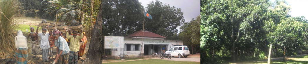
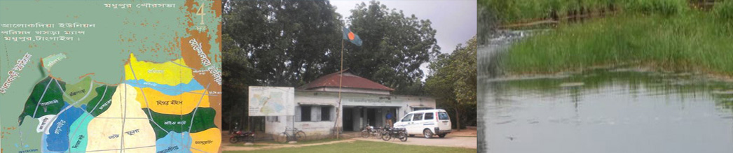
Union Parishad
Union parishad 1
Activities of UP
গুরুত্বপূর্ণ তথ্য
Miscellaneous
Supportive information service
-
Govt. Office
Agriculture
Health Services
Social Service
-
Other Institutions
Educational Institutions
-
Different Lists
Other listings
List of Beneficiaries
- Projects
-
Services
UDC
National E-Service
- Gallery
-
-
-
-
About Union
Geographical & Economic
Miscellaneous
-
Union Parishad
Union parishad 1
Activities of UP
গুরুত্বপূর্ণ তথ্য
Miscellaneous
Supportive information service
-
Govt. Office
Agriculture
Health Services
Social Service
-
Other Institutions
Educational Institutions
-
Different Lists
All Projects
Other listings
List of Beneficiaries
-
Projects
All Projects
kabikha
Kabita
TR
GR
LGSP
Construction culverts at rural roads
Allotment
Fisheries
Facilities
LGED
Others Project
-
Services
UDC
National E-Service
-
Gallery
Photo Gallery
Video Gallery
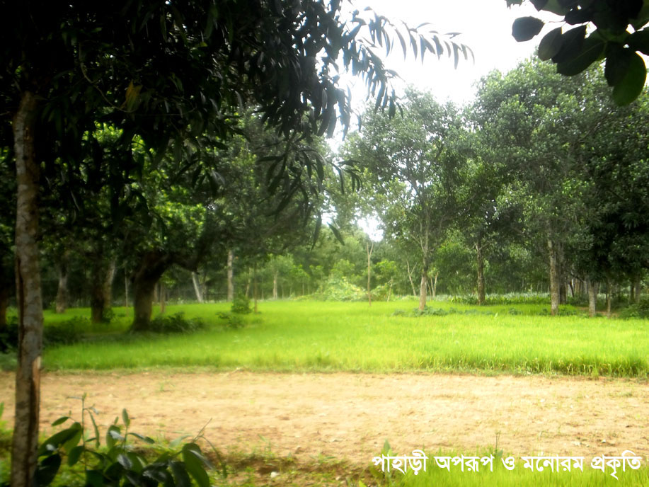
Brief introduction to the geographical location of Alokdia Union:
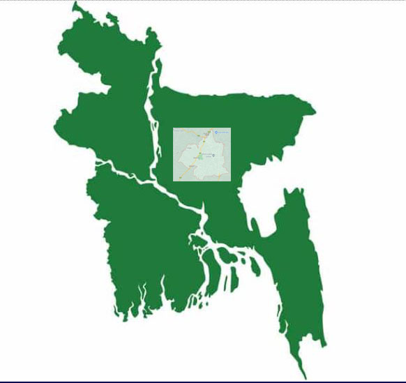
Bangladesh is a country in South Asia, extending from 26° 38' N latitude to 20° 34' N latitude and 88° 01' E to 92° 41' E longitude. India covers the western, northern and eastern borders of this country. To the west lies the Indian state of West Bengal. West Bengal, Assam, Meghalaya states in North. East Assam, Tripura, Mizoram. But in the east, apart from India, there is a border with Myanmar (Burma). To the south is the Bay of Bengal. Geologically, to the north of the country lies the high Himalayan mountain range, from which the great rivers (Ganga, Brahmaputra, Meghna etc.) formed by the flow of glacial water. Currents and rivers flow through Bangladesh and drain into the Bay of Bengal.
No. 07 Alokdia Union is located on the southern border of Orntagata Madhupu Upazila of Tangail District of Dhaka Division. Kuralia of Madhupur Upazila and Thanhapur Union of Ghatail Upazila are situated before it. Dhopakandi Union of Gopalpur Upazila and Golabari Union of Madhupur Upazila are located in the west. Madhupur municipality in the north and Sangrampur and Deulabari unions of Ghatail upazila in the south.


Planning and Implementation: Cabinet Division, A2I, BCC, DoICT and BASIS
Technical Assistance:
![]()
Developed By: